Waterways Ireland Digital Archive - Clarecastle, Co. Clare
Waterways Ireland is one of the all-island North-South Bodies established under the Good Friday Agreement in 1999 and is the navigational authority for the canal system in Ireland.
On its inception Waterways Ireland inherited an archive collection of engineering drawings from the Office of Public Works in Dublin and a physical archive was duly established in the new headquarters in Enniskillen, Co. Fermanagh.
Waterways Ireland has digitised its archive collections, making 200 years of waterways engineering history available to the public through their new digital archive, launched in the summer of 2021.
The archive is home to over 15,000 engineering drawings, maps, charts and photographs, with most of the engineering drawings dating from the middle of the nineteenth century.
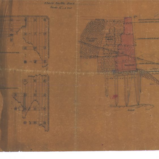
A search of the online catalogue for ‘Clare’ brings up many drawings to do with the County. But this can be refined to items pertinent to Clarecastle, bearing in mind the old name for the village of Clare. Wonderful drawings can be found dealing with the various quays and wharfs on the river Fergus at Clarecastle from the 1830s, the proposed Wyndham Canal between Clarecastle and Ennis and the reclamation of sloblands at Islandavanna. A fine drawing too of the Clare Bridge which was surveyed in 1838 can be found in the collection. We are grateful to Waterways Ireland for permission to upload items from the archive to our website.
The oldest drawing in the Collection is an 1837 survey of the River Fergus at Clarecastle by William Frazer and William T. Mulvany C.E. It show some interesting details such as the Hill of Clare, old brickfields, the road to O’Donohue’s Quay in Knocknamana, the Store at the entrance to the Quay owned by the mining company in Kilbreckin, the quay that was there prior to the 1843 Quay, a proposed wharf down river, land owners such as Patt Lyons and Patt O’Donohue (lands still owned by these families), John Cooney, John McGrath, Lillis. There is an intriguing sketch added in pencil of a bridge spanning the river south of the present New Quay.
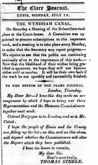
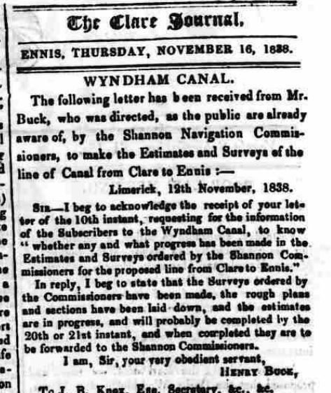
The proposed canal, to be called the Wyndham Canal, would have changed the landscape in Devine’s Field with canal locks and a swing bridge. A section of the canal from the river would have brought docks into an area in Ennis where the Convent of Mercy stands today, behind the Old Ground Hotel. A new road bypassing Clarecastle was included in the plans.


No Comments
Add a comment about this page